044 209 91 25 079 869 90 44
Notepad
The notepad is empty.
The basket is empty.
Free shipping possible
Please wait - the print view of the page is being prepared.
The print dialogue opens as soon as the page has been completely loaded.
If the print preview is incomplete, please close it and select "Print again".

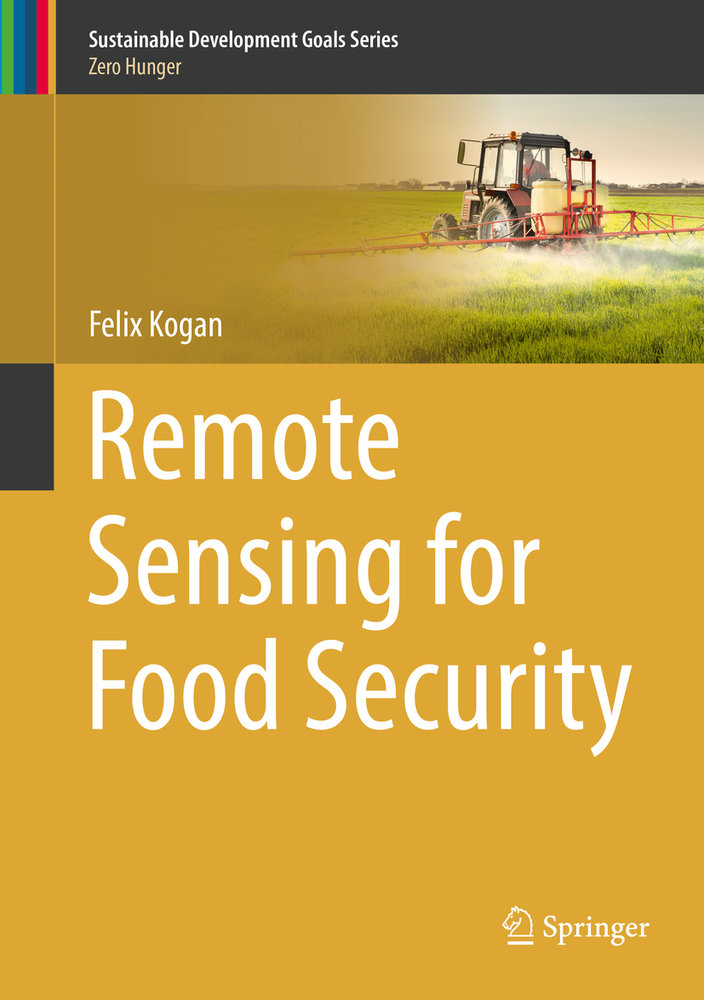
Remote Sensing for Food Security

E-bookPDFE-book
Ranking18657inGeowissenschaften
CHF189.00

Description

This volume gathers a variety of applications for remote sensing of vegetation health (VH) and concretely shows how this information can be used in service of ending hunger and of ensuring future food security. In this book´s ten chapters, Dr. Felix Kogan, one of the most prolific scientists in this sphere, shows how a new VH method, designed from operational environmental satellite data, can be used to provide advanced predictions of agricultural losses, helping to enhance food security and reducing the number of hungry people. Topics covered include the scientific basis of the VH method, drought monitoring, prediction of short-term agricultural yield and crop insurance, and impacts of long term climate variability an change on food security. Short discussion on VH for human health-related topics such as detection and prediction of malaria and fire risk is included, as well.
More descriptions

Details

Additional ISBN/GTIN9783319962566
Product TypeE-book
BindingE-book
FormatPDF
Format notewatermark
Publishing date27/10/2018
Edition1st ed. 2019
Pages255 pages
LanguageEnglish
IllustrationsXV, 255 p. 121 illus., 98 illus. in color.
Article no.6013312
CatalogsVC
Data source no.2427614
Product groupGeowissenschaften
More details

Series

Author

Dr. Felix Kogan is a Physical Scientist for the National Oceanic and Atmospheric Administration (NOAA), National Environmental Satellite Data and Information Services (NESDIS), and the Center for Satellite Applications and Research (STAR). His duties include research and development in the application of satellite data to the solution of environmental problems with a specific emphasis on land, atmosphere, climate, and socioeconomic activities. He has authored and co-authored more than 150 scientific papers and book chapters, and has developed the satellite-based vegetation health method for monitoring drought, fire risk, agricultural production, climate trends, and land cover changes.