044 209 91 25 079 869 90 44
Notepad
The notepad is empty.
The basket is empty.
Free shipping possible
Please wait - the print view of the page is being prepared.
The print dialogue opens as soon as the page has been completely loaded.
If the print preview is incomplete, please close it and select "Print again".

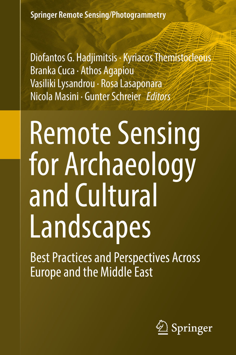
Remote Sensing for Archaeology and Cultural Landscapes

Best Practices and Perspectives Across Europe and the Middle East
BookHardcover
Ranking18657inGeowissenschaften
CHF209.00

Description

This book investigates the added value that satellite technologies and remote sensing could provide for a more sustainable mapping, monitoring and management of heritage sites, be it for purposes of regular maintenance or for risk mitigation in case of natural or man-caused hazards. One of the major goals of this book is to provide a clear overview on policy perspectives, regarding both space policy as well as heritage policy, and to provide possible suggestions for common ground of these two fields, in Europe and around the world.

Readers will develop a good understanding of cutting-edge applications of remote sensing and geographic information science, and the challenges that affect heritage maintenance and protection. Particular attention is given to Earth observation and remote sensing techniques applied in different locations. This book brings together innovative technologies, concrete applications and policy perspectives that can lead to a more completevision of cultural heritage as a resource for future development of our society as a whole.
More descriptions

Details

ISBN/GTIN978-3-030-10978-3
Product TypeBook
BindingHardcover
Publishing date21/06/2019
Edition1st ed. 2020
Pages328 pages
LanguageEnglish
SizeWidth 160 mm, Height 241 mm, Thickness 23 mm
Weight718 g
Article no.21717216
Publisher's article no.978-3-030-10978-3
CatalogsBuchzentrum
Data source no.29484814
Product groupGeowissenschaften
More details

Series

Author

Dr. Diofantos G. Hadjimitsis is the Vice Rector of Academic Affairs, as well as Professor, and Head of the Remote Sensing and Geo-Environment Lab of the Eratosthenes Research Centre at Cyprus University of Technology.
Dr. Athos Agapiou, Dr. Branka Cuca and Dr. Vasiliki Lysandrou are Research Fellows in the Department of Civil Engineering and Geomatics at Cyprus University of Technology.
Dr. Kyriacos Themistocleous is a Senior Researcher in the Department of Civil Engineering and Geomatics at Cyprus University of Technology.

Dr. Rosa Lasaponara is a Senior Researcher at CNR-IMAA (Institute for Environmental Analyses) in Tito, Italy.
Dr. Nicola Masini is a Senior Reserarcher at CNR-IBAM (Institute for Archaeological and Monumental Heritage) in Tito, Italy.
Dr. Gunter Schreier is Deputy Director of the German Remote Sensing Data Center in Oberpfaffenhofen, Germany.

More products from Hadjimitsis, Diofantos G.

Editor